United States Map > 50-State Color Map
Color Map of all 50 States
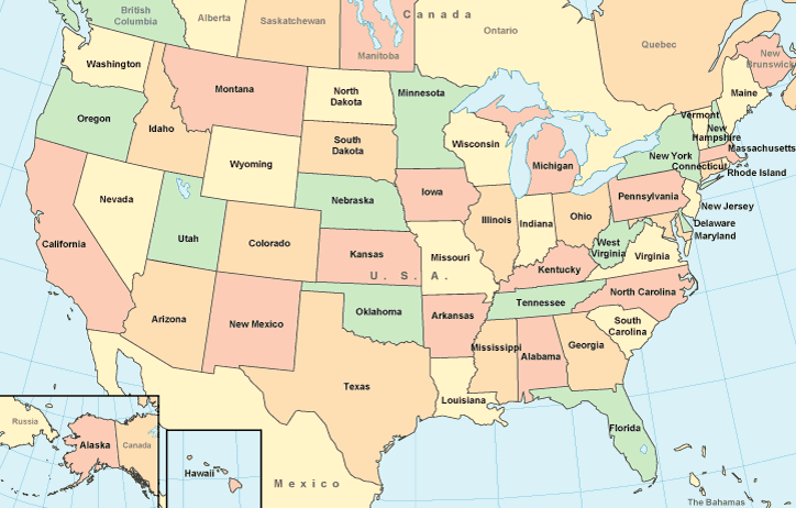
This color map of the United States includes all 50 states, as well as surrounding areas. It was created using a conic map projection and shows latitude and longitude lines over water areas. This color United States map will normally fit on letter size paper (8 1/2 inch by 11 inch), in portrait mode, with left and right margins each set to about 0.4 inches. If you prefer a larger version, this large color outline map will normally fit on letter size paper in landscape mode.Be sure to view our detailed regional road maps and topographical maps, and browse the United States facts and reference information on this site.
Copyright © 2006-2026 United-States-Map.com. All rights reserved.