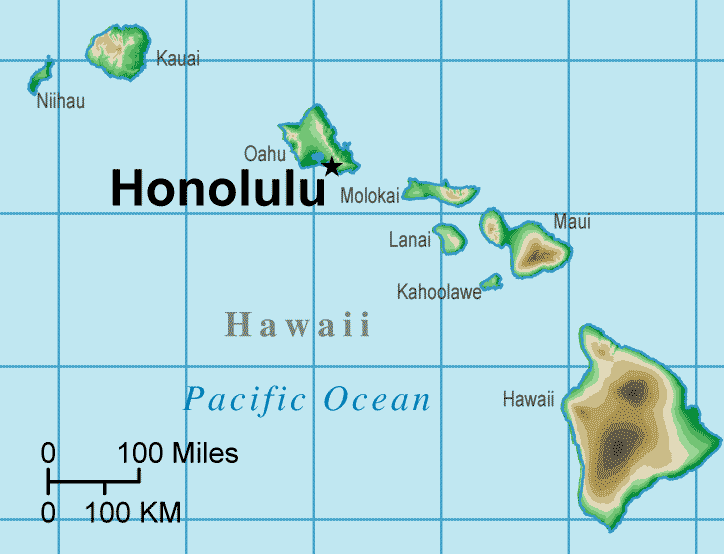
Hawaii Topographical Map
United States Map > Hawaii > Interactive Map
The State of Hawaii
The Hawaii map includes only the state of Hawaii. The state capital shown on this sectional United States map is Honolulu.
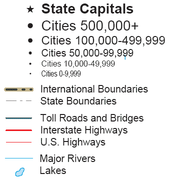
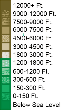
Hawaii Map Legend
The central Pacific Ocean state of Hawaii consists of a number of islands, some of which contain active volcanoes. Small streams abound on the islands, but the longest river is the Wailuku, which begins on Mauna Kea's slopes, 10,800 feet above sea level, and descends to sea level in about 26 miles.
Note that, on this cylindrical projection map, the scale is true only at about the latitude of Honolulu.
Interactive Hawaii Topo Map
United States Topo Map Menu
| Detailed Topographical Maps of United States Regions | |||||
|---|---|---|---|---|---|
| Alaska | Northwest | Northern Rockies | Northern Plains | Upper Midwest | Northeast |
| Far West | Central Rockies | Central Plains | Midwest | Middle Atlantic | |
| Hawaii | Southwest | Southern Rockies | South Central | Deep South | Southeast |
Copyright © 2006-2025 United-States-Map.com. All rights reserved.