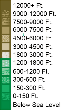
Mid-Atlantic States Topo Map
United States Map > Middle Atlantic > Interactive Map
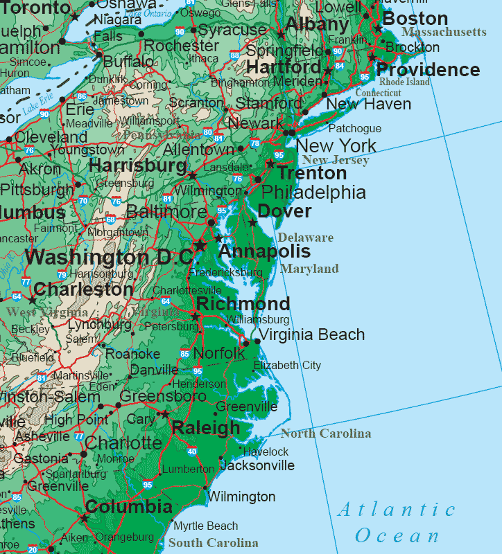
Middle Atlantic States
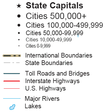
The Middle Atlantic map includes the states of New Jersey, Pennsylvania, Delaware, and Maryland, as well as the southern New England states, southern New York, and eastern Virginia, West Virginia, North Carolina, and South Carolina.The state capitals shown on this sectional United States map include Trenton, Harrisburg, Dover, Annapolis, Hartford, Providence, Boston, Albany, Richmond, Charleston, Raleigh, and Columbia.
Topo Map Legend

The Middle Atlantic region consists of an Atlantic coastal plain with a ridge of Appalachian mountains to the west. The Ohio River and its tributaries drain the terrain beyond the Appalachians, while rivers such as the Hudson, Delaware, Susquehanna, and Potomac drain the area east of the Appalachians.
Interactive Middle Atlantic States Map
United States Topo Map Menu
| Detailed Topographical Maps of United States Regions | |||||
|---|---|---|---|---|---|
| Alaska | Northwest | Northern Rockies | Northern Plains | Upper Midwest | Northeast |
| Far West | Central Rockies | Central Plains | Midwest | Middle Atlantic | |
| Hawaii | Southwest | Southern Rockies | South Central | Deep South | Southeast |
Copyright © 2006-2024 United-States-Map.com. All rights reserved.