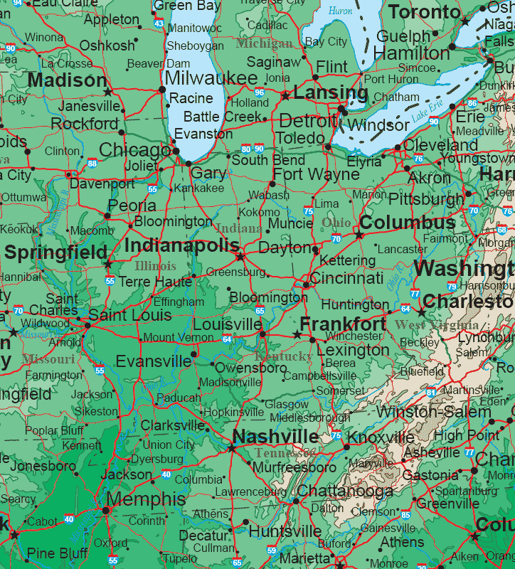
Midwestern States Topo Map
United States Map > Midwest > Interactive Map
Midwestern States
The Midwest map includes Illinois, Indiana, Ohio, Kentucky, and Tennessee, plus southern Michigan, southern Wisconsin, and western West Virginia. The state capitals shown on this sectional United States map include Springfield, Indianapolis, Columbus, and Frankfort, as well as Nashville, Lansing, Madison, and Charleston.Other populous cities on this map include Chicago, Detroit, Cleveland, Milwaukee, Saint Louis, Cincinnati, Pittsburgh, Louisville, and Memphis.
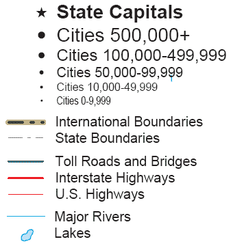
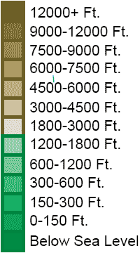
Topo Map Legend

Interactive Midwestern States Map
United States Topo Map Menu
| Detailed Topographical Maps of United States Regions | |||||
|---|---|---|---|---|---|
| Alaska | Northwest | Northern Rockies | Northern Plains | Upper Midwest | Northeast |
| Far West | Central Rockies | Central Plains | Midwest | Middle Atlantic | |
| Hawaii | Southwest | Southern Rockies | South Central | Deep South | Southeast |
Copyright © 2006-2025 United-States-Map.com. All rights reserved.