Mid-Atlantic States Road Maps
United States Map > Middle Atlantic > Interactive Map
Middle Atlantic States
The Middle Atlantic map includes the states of New Jersey, Pennsylvania, Delaware, and Maryland, as well as the southern New England states, southern New York, and eastern Virginia, West Virginia, North Carolina, and South Carolina. This historic region, where the first colonists settled, the Declaration of Independence was signed, and many of the Revolutionary War battles were fought, is the birthplace of America. For detailed maps of individual Middle Atlantic states, see New Jersey maps, Pennsylvania maps, New York maps, Virginia maps, West Virginia maps, and North Carolina maps, respectively.

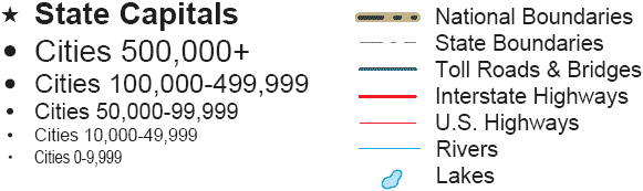
Road Map Legend

The northernmost cross-country thoroughfare, Interstate 90, runs from west to east through Ohio, Pennsylvania, New York, and Massachusetts. Interstate 80, a major cross-country travel artery, runs from west to east through Ohio, northern Pennsylvania, and New Jersey. Further south, Interstate 70 runs from west to east through Ohio, southern Pennsylvania, and Maryland. Still further south, Interstate 40 runs from west to east through North Carolina.
The primary East Coast thoroughfare, Interstate 95, runs from north to south through Massachusetts, Rhode Island, southern Connecticut, southern New York, New Jersey, Delaware, Maryland, Virginia, North Carolina, and South Carolina. Further west, Interstate 81 runs from north to southwest through New York, Pennsylvania, Maryland, West Virginia, and Virginia. Still further west, Interstate 77 runs from north to south through Ohio, West Virginia, Virginia, North Carolina, and South Carolina.
Interactive Middle Atlantic States Map
United States Road Map Menu
| Detailed Road Maps of United States Regions | |||||
|---|---|---|---|---|---|
| Alaska | Northwest | Northern Rockies | Northern Plains | Upper Midwest | Northeast |
| Far West | Central Rockies | Central Plains | Midwest | Middle Atlantic | |
| Hawaii | Southwest | Southern Rockies | South Central | Deep South | Southeast |