Upper Midwest Road Maps
United States Map > Upper Midwest > Interactive Map
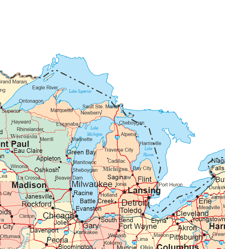
Upper Midwest States
The Upper Midwest map includes Michigan and eastern Wisconsin, as well as northern Illinois, Indiana, and Ohio. This fertile region, whose climate is moderated by the Great Lakes, features strong agricultural and industrial sectors. For detailed maps of individual Upper Midwestern states, see Michigan maps, Wisconsin maps, Illinois maps, Indiana maps, and Ohio maps, respectively.
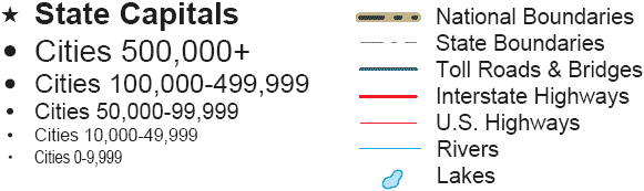
Road Map Legend
Interstate 94 runs from northwest to southeast through Wisconsin, northern Illinois, northern Indiana, and southern Michigan. Interstate 90 runs from west to east through Wisconsin, northern Illinois, northern Indiana, northern Ohio, northwestern Pennsylvania, and New York. Further south, Interstate 80 runs from west to east through Iowa, northern Illinois, northern Indiana, northern Ohio, and northern Pennsylvania.
Interstate 55 runs from north to south through Illinois. Further east, Interstate 65 runs from north to south through Michigan and Indiana. Still further east, Interstate 75 runs from north to south through Michigan and western Ohio.
Interactive Upper Midwestern States Map
United States Road Map Menu
| Detailed Road Maps of United States Regions | |||||
|---|---|---|---|---|---|
| Alaska | Northwest | Northern Rockies | Northern Plains | Upper Midwest | Northeast |
| Far West | Central Rockies | Central Plains | Midwest | Middle Atlantic | |
| Hawaii | Southwest | Southern Rockies | South Central | Deep South | Southeast |