Far West Road Maps
United States Map > Far West > Interactive Map
Far Western States
The Far West map includes California and Nevada as well as northwestern Arizona. This region of contrasts includes densely populated California, with its moderate climate and Pacific Ocean coastline, as well as sparsely populated Nevada. For detailed maps of individual Far Western states, see California maps, Nevada maps, and Arizona maps, respectively.

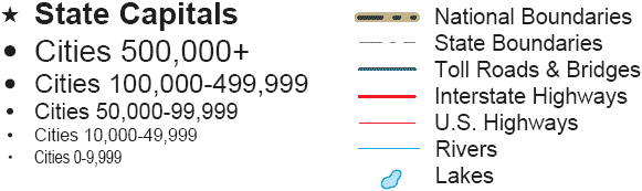
Road Map Legend
Interstate 80 runs from west to east through California, Nevada, and Utah. Further south, Interstate 40 runs from west to east through southern California and northern Arizona. Still further south, Interstate 10 runs from west to east through southern California and southern Arizona.
The primary West Coast thoroughfare, Interstate 5, runs from north to south through Oregon and California. Further east, Interstate 15 runs from northeast to southwest through Utah, southern Nevada, and southern California.
Interactive Far Western States Map
United States Road Map Menu
| Detailed Road Maps of United States Regions | |||||
|---|---|---|---|---|---|
| Alaska | Northwest | Northern Rockies | Northern Plains | Upper Midwest | Northeast |
| Far West | Central Rockies | Central Plains | Midwest | Middle Atlantic | |
| Hawaii | Southwest | Southern Rockies | South Central | Deep South | Southeast |
Copyright © 2006-2025 United-States-Map.com. All rights reserved.